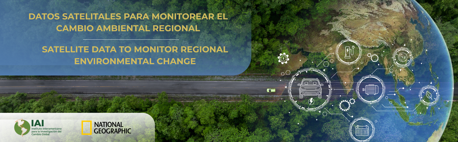
The Inter-American Institute for Global Change Research (IAI), in partnership with National Geographic, offers a free, self-paced, certificate course for students and researchers in Latin America and the Caribbean interested in using satellite data to monitor environmental changes in the region.
This course aims to strengthen participants’ technical skills in processing and interpreting satellite images to identify spatial and temporal changes in ecosystems, climate, and human aspects such as health. These skills will enable the generation of products relevant to land-use planning, such as the detection of vulnerable areas, using open-access tools such as Google Earth Engine.
The program combines technical learning with practical application in case studies contextualized in Latin America and the Caribbean, addressing topics such as deforestation, extreme events, air quality, and land cover. The approach seeks to promote the use of geospatial data to support decision-making in science, public policy, and sustainable development.
Course structure
The course consists of five core technical modules. Each module offers two topics applied to real-life situations to facilitate the practical use of the knowledge acquired. The methodology includes asynchronous video tutorials, conceptual readings, practical exercises, and reflection questions. Upon completion, participants must complete a personal project and a final exam to receive the certificate.
The course duration is five weeks, with an estimated time commitment of 4 hours per week. The course is available in English and Spanish.
Learning modules
MODULE 1: IMAGE PROCESSING AND VISUALIZATION
MODULE 2: TIME SERIES ANALYSIS
MODULE 3: CALCULATIONS WITH VECTOR DATA
MODULE 4: ANALYSIS OF CHANGE IN LAND COVER
MODULE 5: PRESENTING BEFORE/AFTER CHANGE
Course authors
The program content was designed by Liza Goldberg, a researcher at NASA Goddard, with support from Matías Mastrángelo and Marcela Samudio at the IAI. Goldberg leads global initiatives that integrate satellite science, education, and climate action to support sustainable development policies in low-income countries. She leads Cloud to Classroom, a global education initiative from National Geographic that trains young people in environmental science. She also directs a project that combines satellite imagery and fieldwork to analyze the Rohingya refugee crisis and co-leads a mangrove conservation initiative in India that strengthens coastal city planning in the face of climate change. In addition, she is a Marshall Scholar and a fellow of the Sigma Squared and Slavin Foundations, as well as a Google development expert. Mastrángelo is the IAI’s Open Data Specialist and Samudio is the IAI’s Virtual Campus consultant.
Syllabus
The syllabus can be downloaded here.
Participation conditions
Participants will be part of a study with IRB approval # 79698 from Stanford University and will be required to fill out a pre-course and a post-course survey. Participants will have 5 weeks to complete the course and will receive a certificate of approval if they successfully complete the final test. Six months after the conclusion of the course, participants will be asked to complete a final follow-up survey to understand longer-term course impacts. Please fill out the pre-course survey in the following link https://stanforduniversity.qualtrics.com/jfe/form/SV_0ugw9jqSxo4vJqe
Registration
To receive instructions for course registration, please enter your email address in the following link https://stanforduniversity.qualtrics.com/jfe/form/SV_78UWJba1TeFMOpM. It is a link different from the survey so that responses cannot be linked.
Contact
Please write to matias.mastrangelo@dir.iai.int if you have any questions.